As Far as We Go for As Long As We Go
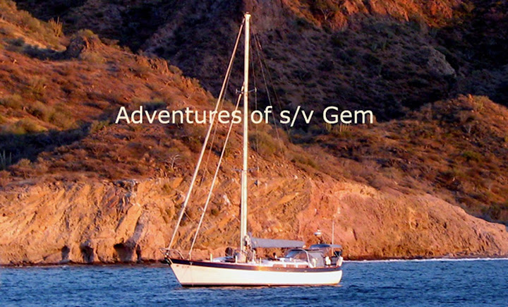
Little did we know that this journey from Mazatlan back to LaPaz would be our last together. The seams of the relationship were straining and Biagio and I decided to part company and individually look for more compatible sailing partners. As a sailing friend of mine said, ‘Life happens’. We shared a wonderful journey down the West Coast and into the Sea of Cortez and ‘si Dios quiere’ or God willing, there will be many more wonderful journeys to come for both of us.

Little did we know that this journey from Mazatlan back to LaPaz would be our last together. The seams of the relationship were straining and Biagio and I decided to part company and individually look for more compatible sailing partners. As a sailing friend of mine said, ‘Life happens’. We shared a wonderful journey down the West Coast and into the Sea of Cortez and ‘si Dios quiere’ or God willing, there will be many more wonderful journeys to come for both of us.


